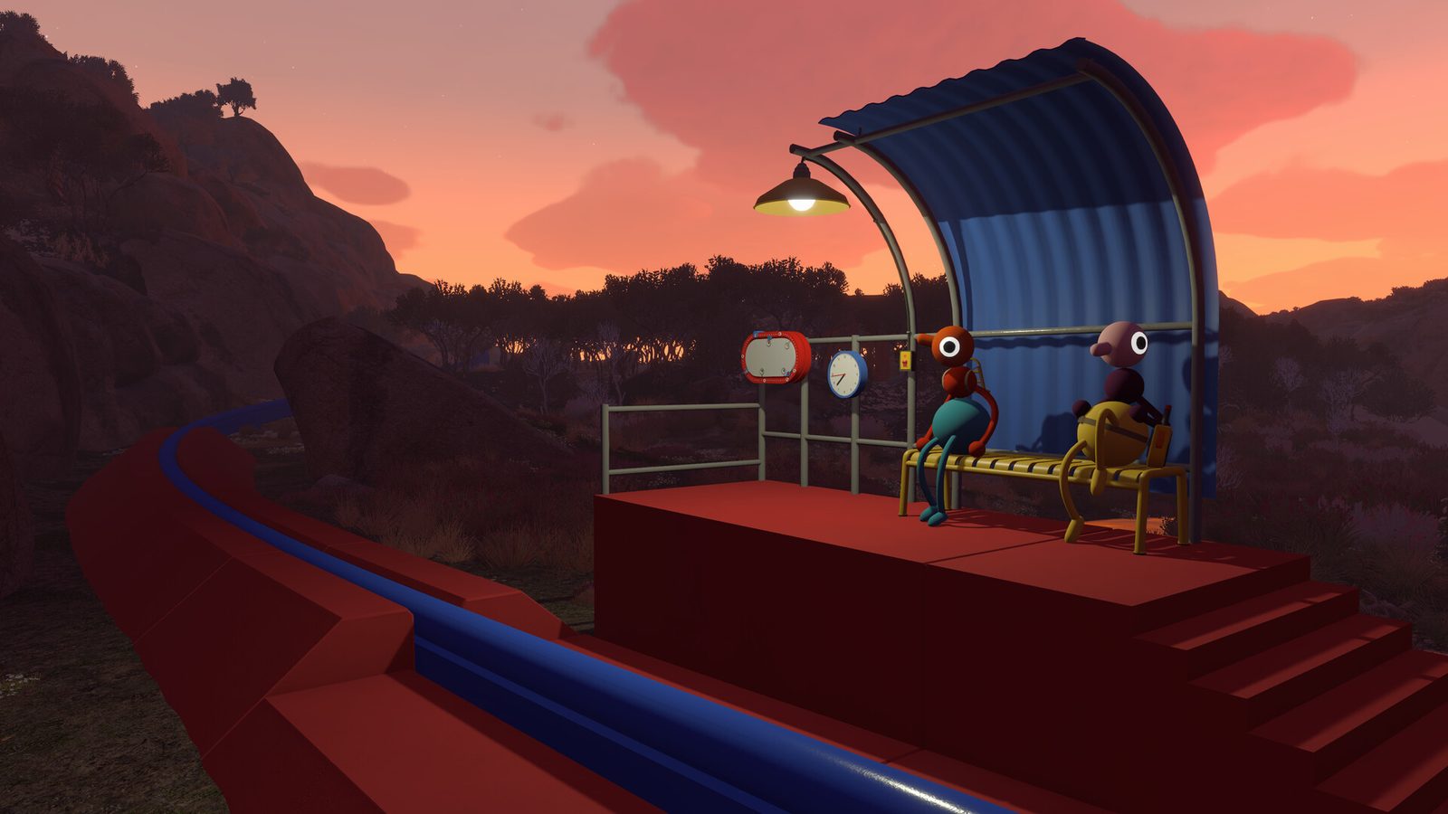
Big Walk has no mini-map. Navigation is a team sport built around the handheld map, the compass, and paper maps: one player can leave the overview room without abandoning orientation.
Where to find the map & compass
The handheld map — the most important navigation item in the game — and the compass both spawn in the Map Room:
- Get the key from the Red Tower. At the top of the Red Tower you’ll find a key (you can see the red circle platform below from the tower top).
- Head down to the red circle platform — the large red circle you can spot from the tower, on the forest path left of the crosswalk after the first radio station.
- Enter the Map Room — the blue tunnel building off to the right, following the arrows on each key cutter. It has a red staircase up to the doorway. Don’t confuse it with the Blue Tower further up in the mountains: same colour, different building, and this one sits in the red area.
- Grab the table loot. From the Map Room entrance, the table on the right holds a portable map, a compass, and three laser pointers.
How to read the coordinates
As you explore you’ll find four-digit coordinates scrawled on notes and used in guides. The Big Walk map is divided into grid squares:
| Coordinate | Meaning |
|---|---|
3420, 1250 | Square between 34-35 longitude and 12-13 latitude, positioned 20/100 across and 50/100 down that square |
- First two digits of each pair = the grid square
- Second two digits = how far across (first pair) and down (second pair) inside the square
- Yes, it’s backwards: longitude runs left-to-right, latitude top-to-bottom — but that’s how Big Walk displays them, so use them exactly as written
The compass is what tells you which direction to travel: pair it with coordinates from this wiki’s area pages to reach towers, radios, the Map Room, the train station and the chairlift station without wandering.
Paper-map best practices
- One cartographer. Too many maps create conflicting Norths.
- Call landmarks, not pixels. “Meet at the red tower ridge” beats “go left a bit.”
- Update after discoveries. When a shortcut unlocks, say it aloud and mark it if your map tool allows notes.
- Combine with binoculars. Spotters confirm whether the drawn cove matches the real shoreline.
- Transfer the map role before a disconnect. If the cartographer drops, reassign the role before the party splits again — host saves keep world progress, but human knowledge walks out with the player.
Landmarks beat coordinates
Natural and built landmarks are the real UI: tall rocks, distinctive trees, rails, beaches and structures become shared vocabulary.
| Situation | Do this |
|---|---|
| Voice fading | Climb for line-of-sight or use walkie-talkies |
| Completely lost | Flare + return to last agreed landmark |
| Split puzzle | Keep one anchor at the map-visible feature |
| Night / weather mood | Rely more on audio beacons (cowbell, megaphone) |
Sharing routes without spoilers
Efficient groups use lightweight route language: coastal loop versus ridge crossing, toward the train line versus inland forest, back to the last completed challenge gate. Avoid dumping full puzzle solutions in voice chat when newcomers want discovery.
Tools that replace a mini-map
| Tool | Navigation job |
|---|---|
| Binoculars | Confirm distant landmarks |
| Laser pointer | Show a heading without walking there |
| Flare | Emergency “I am here” |
| Walkie-talkie | Relay map calls across valleys |
| Whiteboard | Sketch forks when speech fails |
| Gestures | Silent “that way” under mute puzzles |
Crossplay navigation quirks
Mixed Steam / PS5 / Switch 2 parties share the same maps and landmarks, but platform-specific button mappings change how fast players can pull up tools — agree on callouts that don’t depend on one platform’s shortcut. Loadout planning belongs in the party prep; never send every scout out with novelty toys and zero flares.
Navigation in one line: one cartographer, landmark vocabulary, and a flare in every backpack — the map lives in the team, not the screen.